A circular walk from Hurst
Green around Longridge Fell
distance 7.02 miles : time 3 hr
< previous
walk walk
1 next
walk >
walk
1 next
walk >
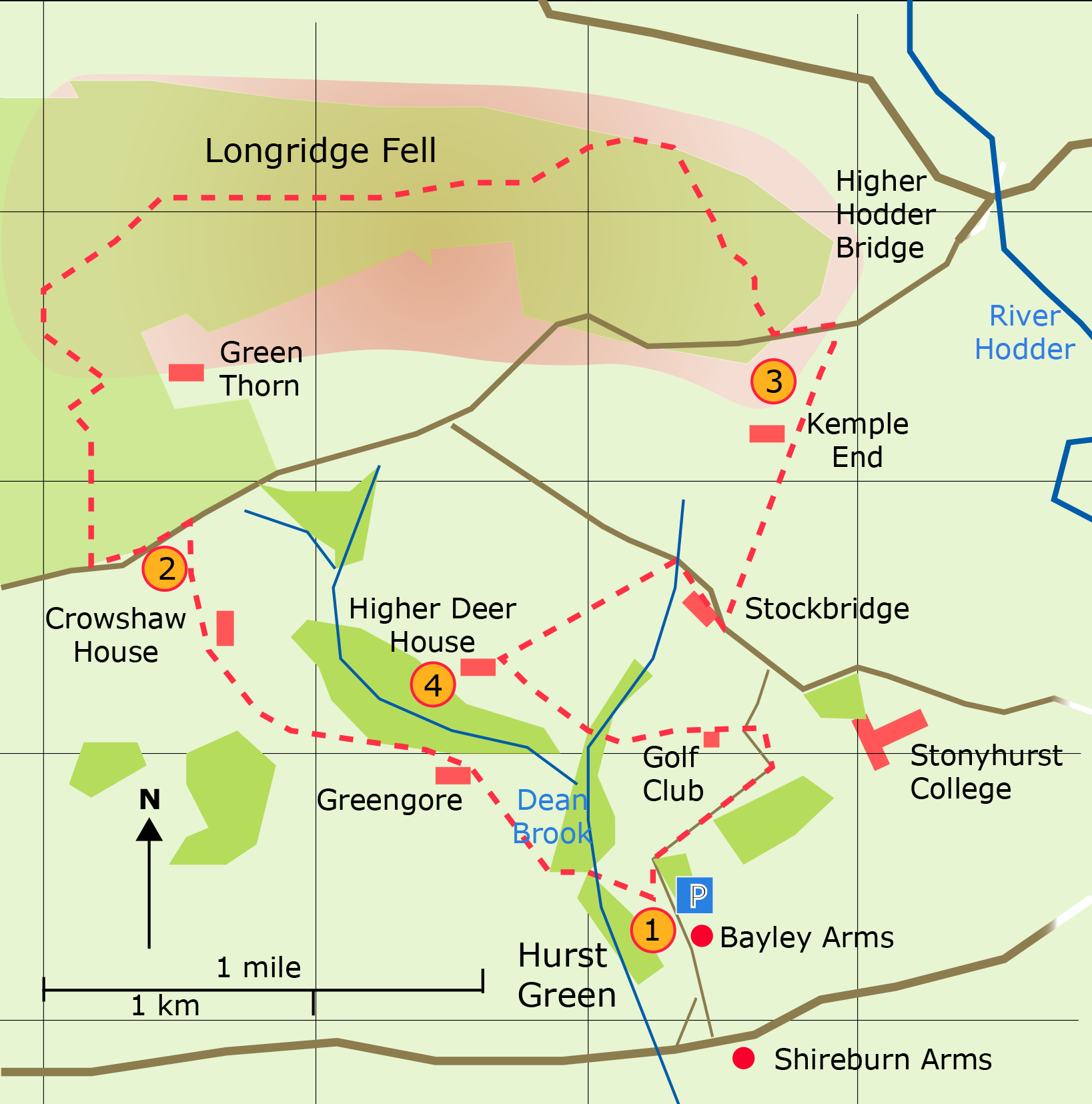
A circular
walk from Hurst Green to Longridge Fell
(45 min)
(65 min)
(45min)
(25 min)
is now closed
The Village of Hurst Green is an ideal starting place for this walk around
Longridge Fell which is one of the dominate features in the Forest of Bowland
landscape. The path along Longridge Fell is not a Public Right of Way but a concessionary footpath
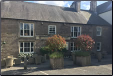
In Hurst Green the Bayley Arms and the Shireburn Arms which once formed part of the Stonyhurst Estate have a long association with Stonyhurst College. The Stonyhurst motto "Quant je puis" can be seen over the bar in the Bayley Arms.
Stonyhurst College came into existence when the estate was handed over to the Jesuits in 1794. (Sir Richard Shireburn and his son (also Richard) having built the original house about 1590 ). Today together with the prep school at St Mary's Hall the campus houses over 600 boarding and day pupils. Gerard Manley Hopkins was a teacher at the College; past scolars include Charles Laughton and Sir Arthur Conan Doyle.
JJR Tolkien wrote part of the Lord of the Rings while staying as a visitor at the College; his son was a teacher there.
The College gardens are open to visitors in the summer time.
Car parking can be found in Hurst Green. The former car park on Longridge Fell at Kemple End is now closed.
190123